
WindNinja is a computer program that computes spatially-varying wind fields for wildland fire applications. It is specifically designed to simulate the mechanical and thermal effects of the local terrain on the wind.
These tutorials provide basic instruction on the main features of WindNinja.

Tutorial 1: The Basics
This tutorial provides a step-by-step guide to running a basic WindNinja simulation.

Tutorial 2: Diurnal Winds and Non-neutral Stability
This tutorial will step you through the process of running a WindNinja simulation that includes some thermal effects.
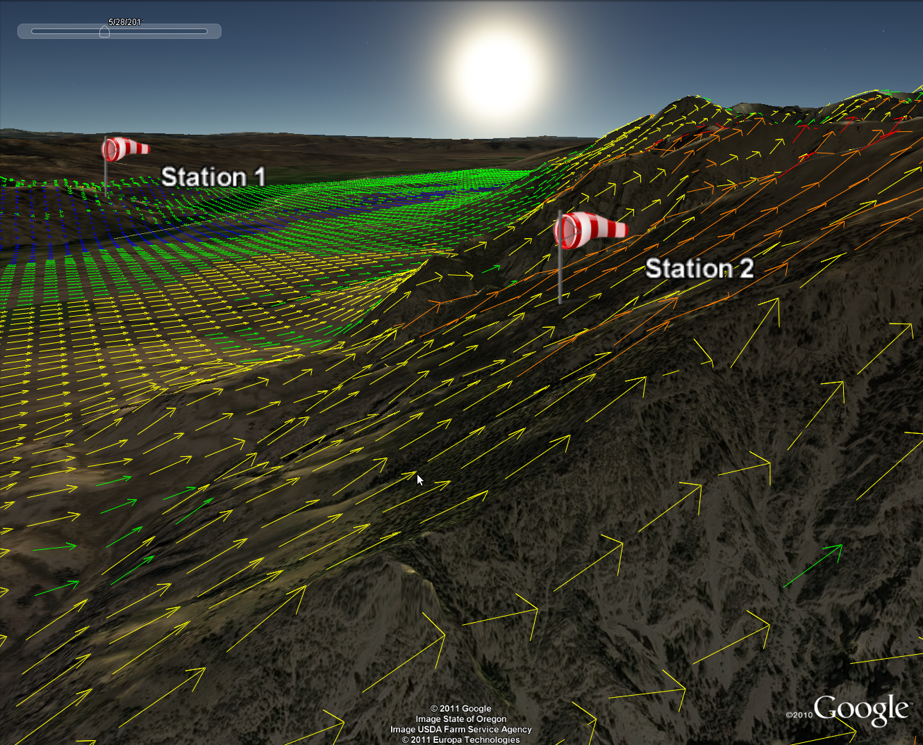
Tutorial 3: Point Initialization
This tutorial will step you through the process of running a WindNinja simulation that is initialized by data from one or more point observations.
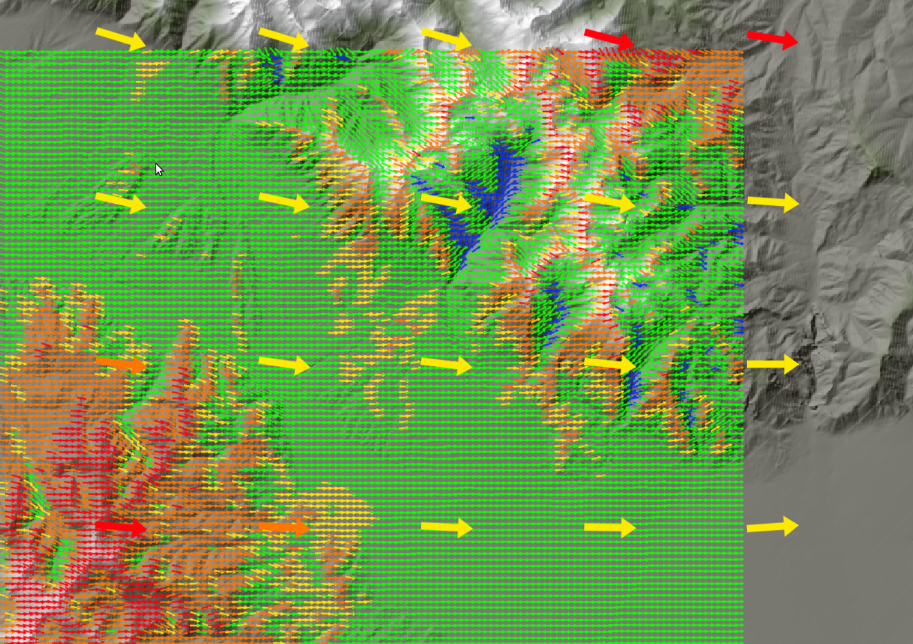
Tutorial 4: Weather Model Initialization
This tutorial will step you through the process of running a WindNinja simulation that is initialized by output from a weather model forecast.

CLI Instructions
This guide explains how to run WindNinja from a command line.
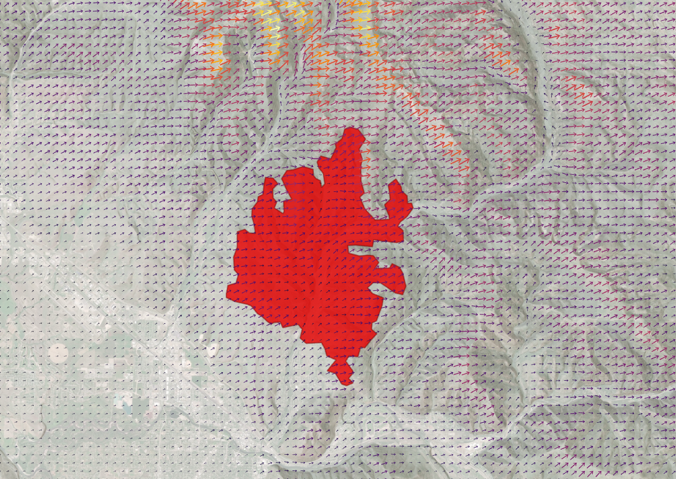
Displaying and Rotating WindNinja-Derived Wind Vectors in ArcGIS Pro 3.3.1
This guide explains how to display WindNinja output vectors in ArcGIS Pro 3.3.1, a geospatial processing program.

Downloading an Elevation File
This guide explains how to download an elevation file for use in WindNinja.
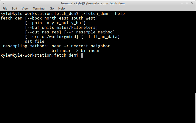
Download a Digital Elevation Model from the Command Line
This guide explains how to download a DEM with the fetch_dem command line utility.